South Mississippi faces weekend rain before midweek cool-down
Temperatures hold near 80 degrees until Wednesday, when a front drops overnight lows to the 50s.
By Rosa Fuentes ·
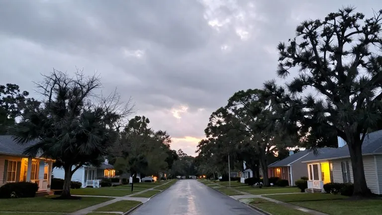
Residents in south Mississippi should expect milder nights this week before a shift to wetter conditions arrives over the weekend. Meteorologist Sam Lucey notes that overnight temperatures will only dip into the low 60s tonight, a warmer reading than previous nights.
Friday will feature mixed clouds and sunshine with afternoon highs reaching the upper 70s or near 80 degrees. Winds will shift from the northeast to the southeast, and dew points will rise throughout the day, adding humidity to the air.
Rain likelihood increases as the weekend progresses. Saturday brings a 50 percent chance of scattered showers and possible afternoon thunderstorms, keeping highs in the upper 70s. The probability rises to 60 percent for Saturday night, with lows hovering around 68 degrees.
Sunday is forecast to be the wettest day, carrying a 70 percent chance of showers and morning thunderstorms. Skies should clear to partly sunny conditions by afternoon, with temperatures again reaching the upper 70s.
Drier weather returns Monday with highs near 79 degrees and northeast winds picking up to 10 to 15 mph. Temperatures will stay consistent through Wednesday, but rain chances increase by midweek. A cold front is expected to move through Wednesday night, dropping lows into the middle 50s.
Thursday will follow with sunny skies and afternoon highs in the middle 70s, marking a noticeable temperature drop from the preceding days.