Rain odds jump from 40% Saturday afternoon to 60% near midnight for Halloween
Coastal Alabama faces a rip current risk that rises from moderate to high as Gulf swells build over the weekend.
By Mariam Saleh ·
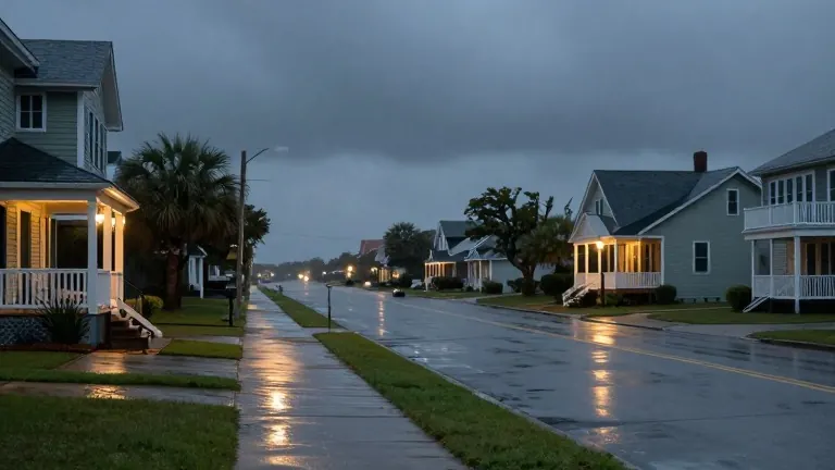
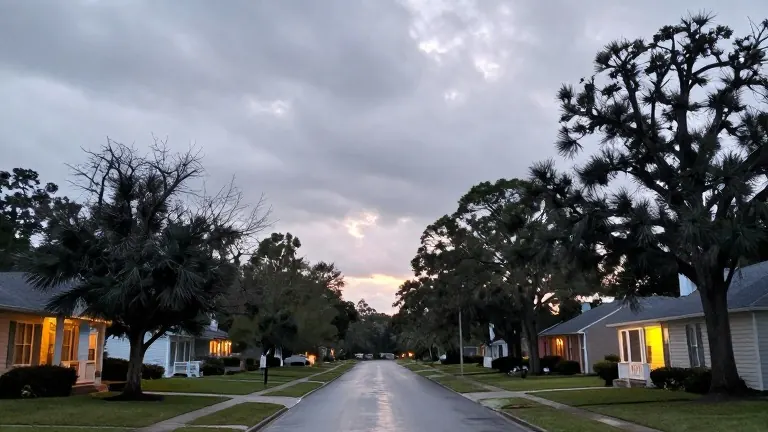
The forecast for trick-or-treaters splits along a line near midnight. Clouds return to the Gulf Coast on Friday, Oct. 30, with a high near 81 and lows near 65 as warmer, more humid air pushes in from the Gulf. Showers could appear on radar above the ground, but dry air near the surface should keep the area mostly dry through the night.
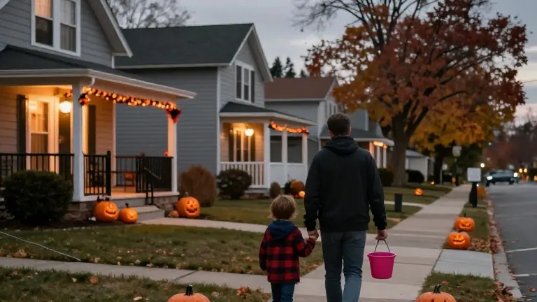
Saturday opens mostly dry under partly sunny skies, with a high near 81. A 40% chance of showers and thunderstorms develops after 1 p.m., and rain chances climb gradually through the afternoon and evening. A passing shower is possible during Halloween activities, though the forecast does not call for a complete washout.
The higher-probability window arrives late Saturday night, around midnight and into early Sunday, when rain chances reach 60% with a few thunderstorms possible. Scattered showers remain possible Sunday morning before chances fall through the afternoon; skies stay mostly cloudy, with a high near 76 and east winds gusting to 20 mph. Rip current risk is projected to rise from moderate to high over the weekend as winds turn more southeasterly and larger swells reach area beaches; east winds Saturday run 5 to 15 mph with gusts to 20 mph, and Sunday could be breezy as well.
Monday turns mostly sunny and dry, high near 78. Forecasters then watch Tuesday night into Wednesday for showers and thunderstorms that could become more widespread Wednesday, when rain chances reach 70%. Confidence in timing and severity for that system remains low, and several atmospheric features would need to come together; details are expected to clarify over the next few days. Behind it, temperatures drop toward seasonal levels, with overnight lows in the 40s later in the week.